
Mapping Water Capicity
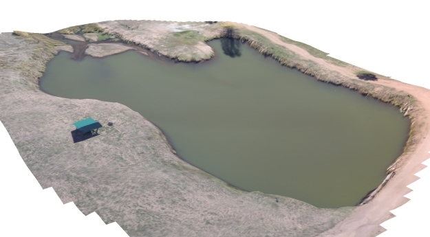
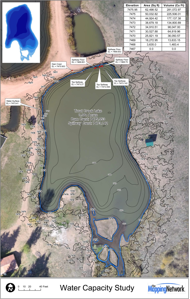
The Mapping Network utilized sonar for collecting water depths and drone technology to collect elevation data surrounding the pond to create an accurate 3D model. This model was used to calculate a water capacity chart and help meet a federal mandate.
About The Mapping Network:
The Mapping Network is an industry leader in Geographic Information Systems, GPS Data Collection, Aerial Imagery, and Data Conversion. We specialize in terrain and sub-surface (bathymetry) GPS mapping, topographic mapping, and aerial imagery. Give us a call or send an e-mail to find out more details.
phone: (402) 241-8177
e-mail: info@themappingnetwork.com
website: www.themappingnetwork.com
Check out The Mapping Network on Twitter or Facebook for more examples and success stories!
![]()