The Mapping Network: A Team of Hydrographic Survey Specialists
The Team: The Mapping Network is a nationwide group of professionals providing the highest quality and most affordable bathymetric, sediment and asset mapping products on the market today. The Mapping Network has partners located throughout the county working directly with recreational property owners, lake associations, engineers, golf courses, marinas, developers, governmental organizations, and fishing clubs. A local expert aquatic service provider understands the dynamics of a lake to determine the best transect paths to precisely model the lake’s bathymetry. With 13 years of experience in the bathymetric mapping profession, our highly trained staff understand and employ the latest technology trends to generate a bathymetric map that is amazingly accurate and also aesthetically enjoyable.
The Time to Map is Now: The Mapping Network maps lakes throughout the entire year and an accurate lake map provides the information needed to make the most of your aquatic resource. If you are serious about maintaining a high-quality lake or pond, be sure you have the ability to make the best decisions, get your lake mapped by the professionals at The Mapping Network.
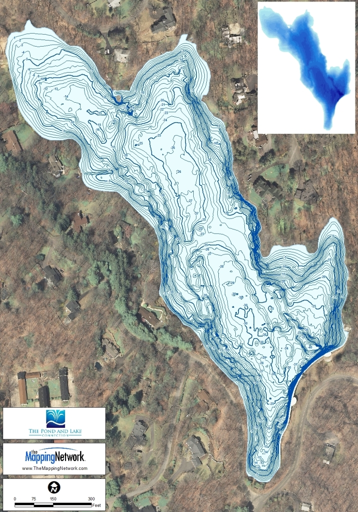
On Site GPS Data Collection: Mapping methods developed by The Mapping Network combine accurate GPS mapping and Sonar technology. Our mapping system collects a 3-dimensional point every two seconds over any body of water with sub-foot accurate location equipment and depth accuracies of up to 1/10th of a foot. Once the data is collected in the field it is processed with customized software programs to craft an impressive bathymetric map that is easy to understand. Our attention to detail and quality control are second to none.

The Mapping Network is an industry leader in Hydrographic Surveys, Bathymetry, Geographic Information Systems Consulting, Data Conversion, and GPS Data Collection. We specialize in terrain and sub-surface (bathymetry) GPS mapping. If you are serious about maintaining a high-quality golf course, lake or pond, be sure you have the ability to make the best decisions, get your resource mapped by the professionals at The Mapping Network. Give us a call or send an e-mail to find out more details.
phone: (402) 241-8177
e-mail: info@themappingnetwork.com
website: www.themappingnetwork.com
Check out The Mapping Network on Facebook for more examples and success stories!
The Mapping Network is proud to announce their firm has been chosen by Cabela’s, the World’s Foremost Outfitter, as a Landowner Services provider for Cabela’s Trophy Properties throughout the United States. Visit us on the Cabela’s Trophy Properties website >> click here
The Mapping Network: www.TheMappingNetwork.com
A Nationwide Network of GPS Mapping Professionals
