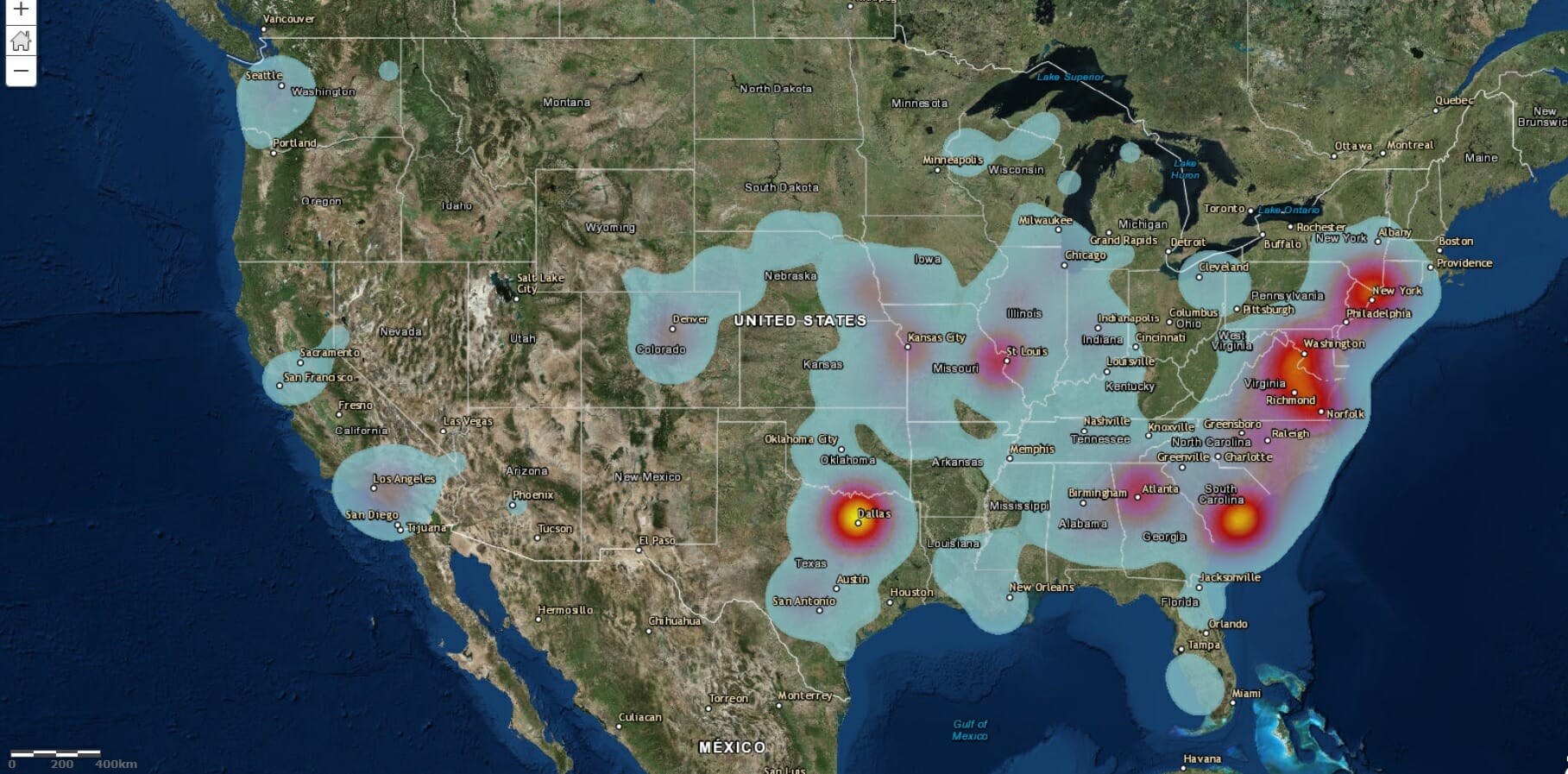
The Mapping Network hydrography/bathymetry dredging project locations – Heat Map
Below is a heat map that show the locations of all our projects over the past few years. These projects range from bathymetry, sediment studies for dredging projects, pre and post dredge surveys, water capacity studies, uav/drone land mapping and imagery, and 3d modeling.