Side Scan Sonar Provides Visual Aid in Hydrographic Survey
Side Scan Sonar is Valuable Tool for The Mapping Network
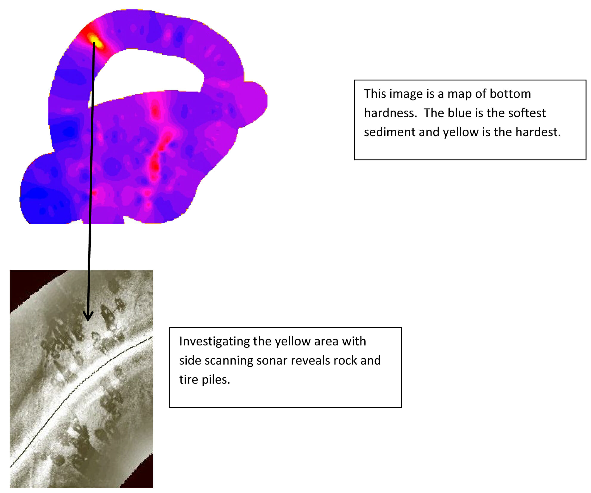
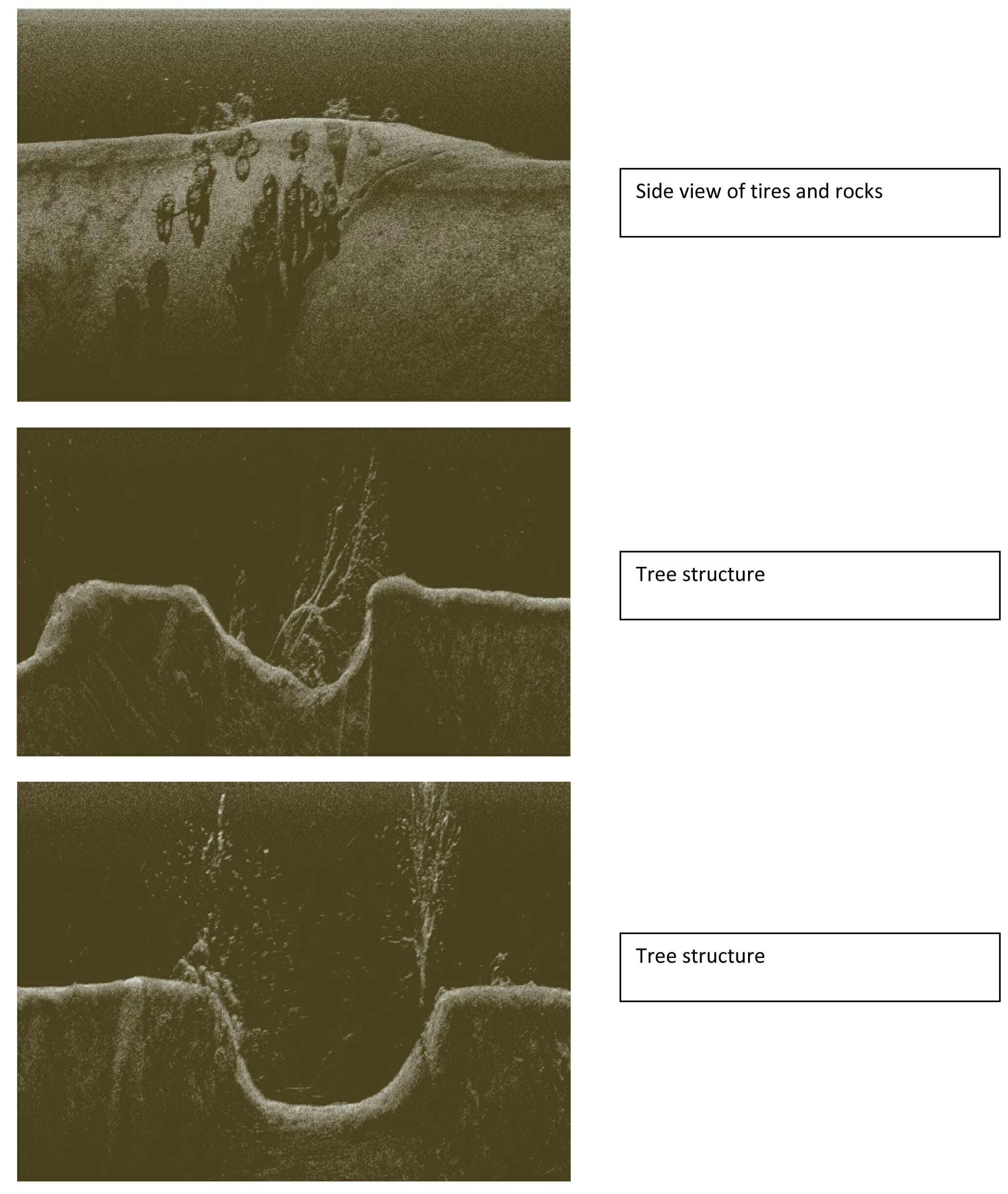
The Mapping Network offers side scan sonar capabilities to efficiently create an image of the lake bottom. Side scan sonar imagery is commonly used as a tool to detect features under the surface of the lake such as structure, debris, old channels, trees, pipes, old roads, etc. These side scan images are typically acquired along with bathymetric surveying and sub-bottom (sediment) mapping. Common applications for side scan sonar are fish habitat location, sediment monitoring, debris location (shipwrecks, etc), dredging operations and environmental studies.


The Mapping Network is an industry leader in Geographic Information Systems Consulting, Data Conversion, and GPS Data Collection. We specialize in terrain and sub-surface (bathymetry) GPS mapping. If you are serious about maintaining a high-quality golf course, lake or pond, be sure you have the ability to make the best decisions, get your resource mapped by the professionals at The Mapping Network. Give us a call or send an e-mail to find out more details.
phone: (402) 241-8177
e-mail: info@themappingnetwork.com
website: www.themappingnetwork.com
Check out The Mapping Network on Facebook for more examples and success stories!
The Mapping Network is proud to announce their firm has been chosen by Cabela’s, the World’s Foremost Outfitter, as a Landowner Services provider for Cabela’s Trophy Properties throughout the United States. Visit us on the Cabela’s Trophy Properties website >> click here
The Mapping Network: www.TheMappingNetwork.com
A Nationwide Network of GPS Mapping Professionals
