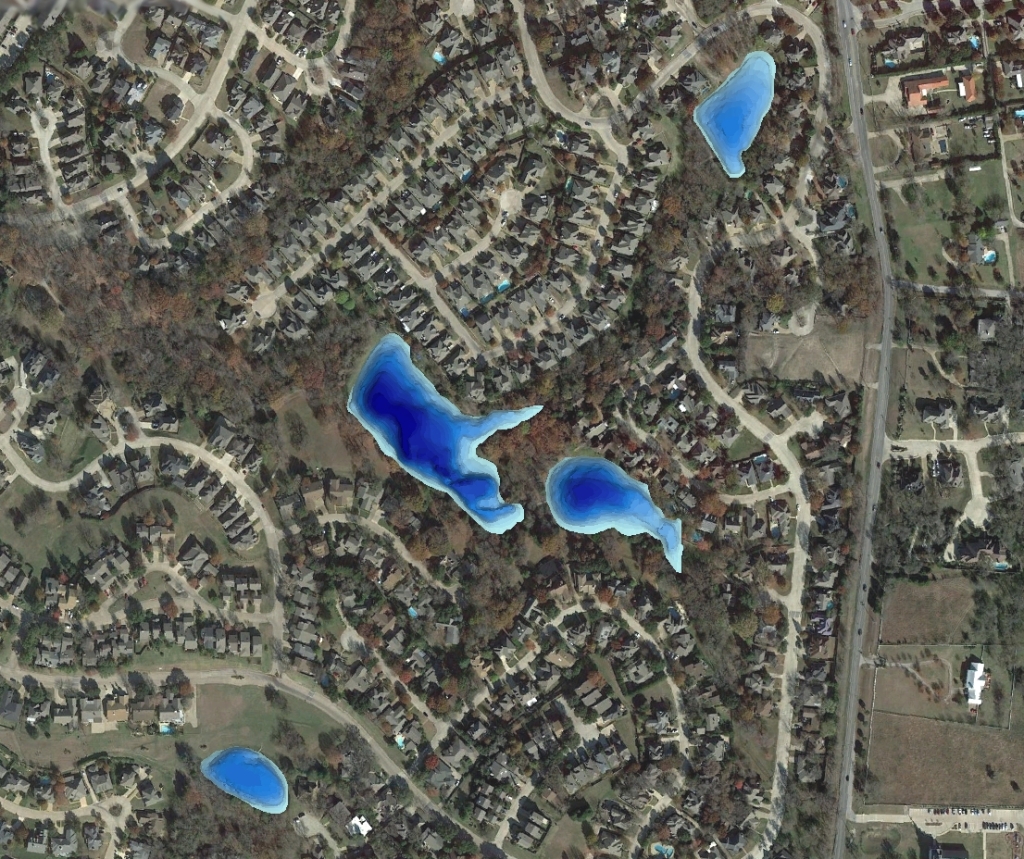
GPS Lake Map Guides Lake Management Plan
Bathymetric Lake Mapping was performed by Trent Lewis with Pond Medics, Inc., for a homeowners association in a suburb northeast of Dallas, Texas. The purpose of this project was to create a base map of lake depths and locate areas of sediment accumulation. The mapping techniques utilized in this project and subsequent lake mapping results allowed Pond Medics to devise an accurate resource management plan for the association.
Mr. Lewis says to “think of your lake map as a window into an unseen world. The lake map can be used to track changes in this dynamic environment. Use it as a planning and budgeting tool in your community. The sooner a lake is mapped, the more informed your lake management decisions will be.”
The finished project included a Bathymetric Lake Map with 3D Color-shaded depths and contour map with locations of high risk sediment areas.

For more information on Pond Medics, Inc. please contact:
Trent Lewis
phone: (972) 334-0104
e-mail: info@pondmedics.com
website: www.pondmedics.com
The Mapping Network: www.TheMappingNetwork.com
A Nationwide Network of GPS Mapping Professionals
