Drought Highlights Urgency for Understanding Current Water Volume of Lakes and Rivers
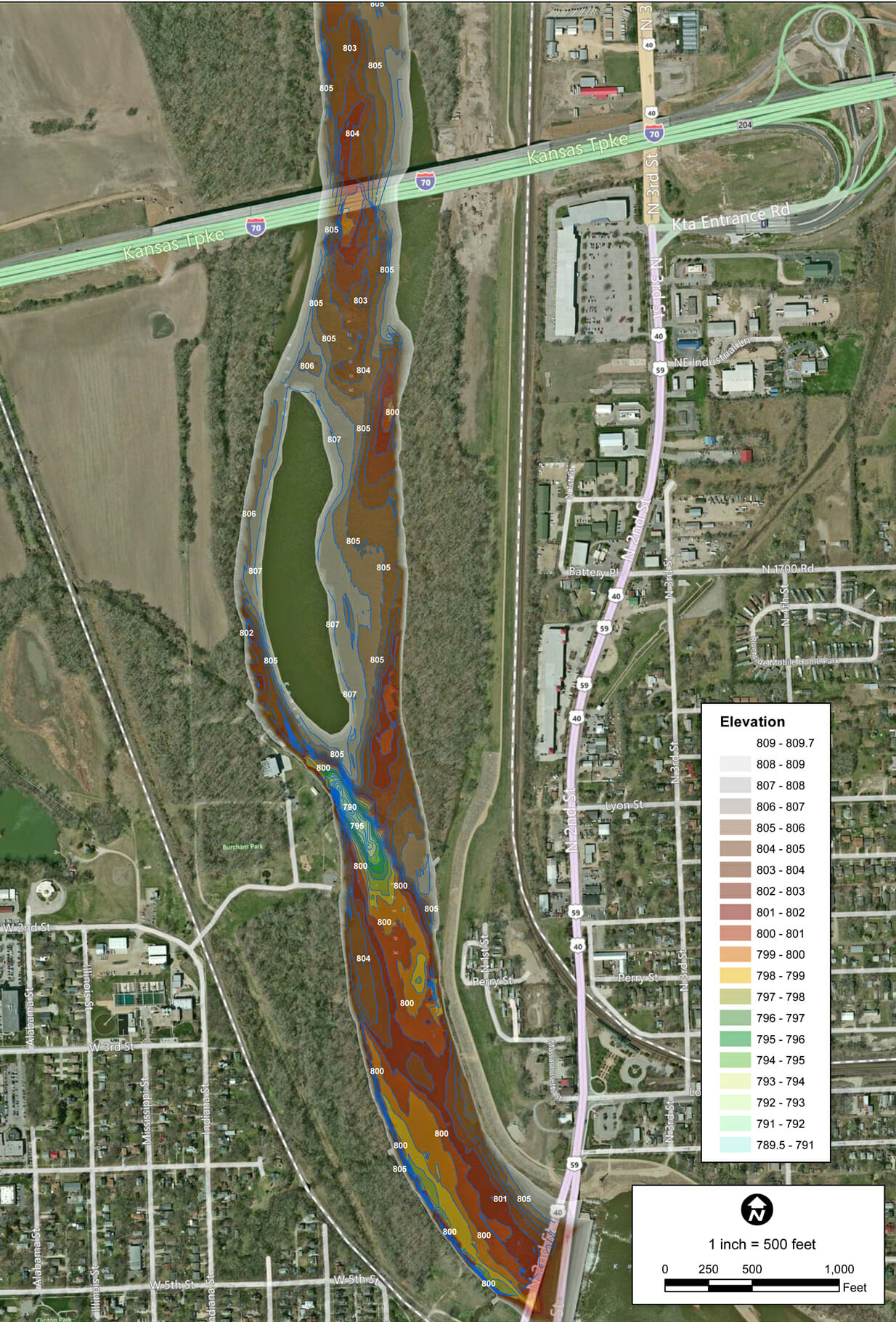
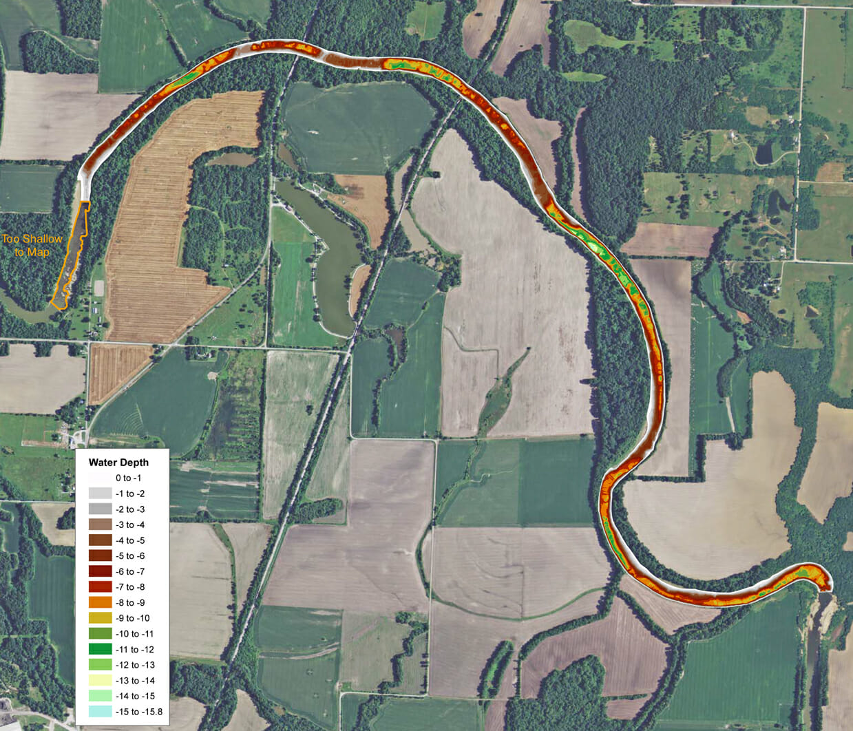
Bathymetry Study on Rivers
Widespread drought over the past couple years has resulted in many phone calls from homeowners, engineers and government agencies concerned about water levels in their lakes. Whether it be for recreation, sediment build-up or monitoring sources of drinking water, the importance of having an accurate water depth map has never been higher.
We are highlighting two recent projects involving rivers as drinking water sources. River systems are continually evolving and the need to have up-to-date bathymetry is necessary for municipalities to understand the water capacity.
The first project was for a medium size city needing to construct a new intake on the river. Engineers needed to identify the optimal location of the intake. Bathymetry of the river also gave city engineers the ability to calculate total water capacity in the river and what the capacity would be at each elevation in case of a drought.

The second project was very similar in that the municipality had three segments of a river plus a 75 acre lake that provided the city with water. The city has a large agricultural production plant that consumes a tremendous amount of water. As the recent drought has lingered, the city was concerned about providing enough water to its citizens. They needed to complete a bathymetric survey to make sure adequate water was available, so the pumps don’t run dry. If there wasn’t enough water in their current inventory the city would have to run pipe 3 miles to another water source. The resulting study indicated significantly more water was available than originally thought so for now the city will not need to implement any emergency plans.

——————————–
About The Mapping Network:
The Mapping Network is an industry leader in Geographic Information Systems Consulting, Data Conversion, and GPS Data Collection. We specialize in terrain and sub-surface (bathymetry) GPS mapping, and recreational Real Estate listings. Give us a call or send an e-mail to find out more details.
phone: (402) 241-8177
e-mail: info@themappingnetwork.com
website: www.themappingnetwork.com
Check out The Mapping Network on Facebook for more examples and success stories!
