
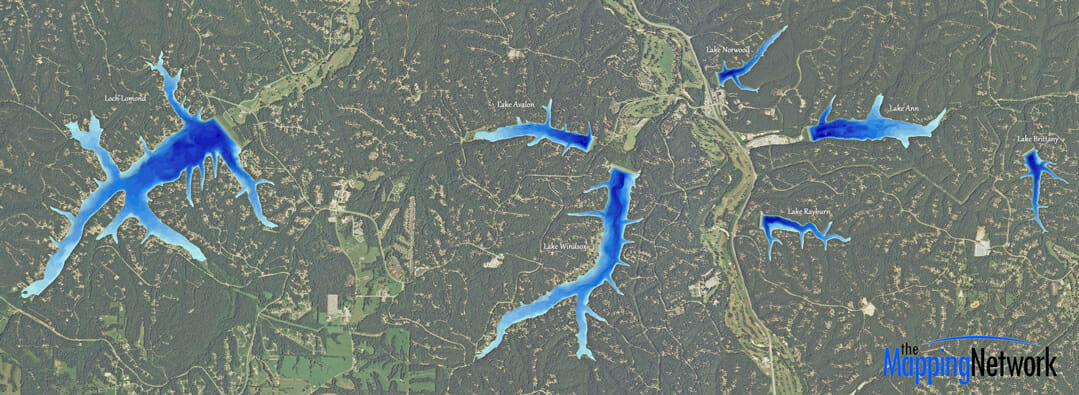
Lake Mapping for 7 lakes in Arkansas Community
The Mapping Network completed bathymetry and sediment maps for each of the 7 lakes of a home owners association in Arkansas. The lakes ranged in size from 80 to 500 acres. The purpose of the multi-year project was to use the maps to plan for fish habitat improvement projects, sediment monitoring, dredge cost-analysis and for fishing maps to community anglers.
About The Mapping Network:
The Mapping Network is an industry leader in Geographic Information Systems, GPS Data Collection, Aerial Imagery, and Data Conversion. We specialize in terrain and sub-surface (bathymetry) GPS mapping, topographic mapping, and aerial imagery. Give us a call or send an e-mail to find out more details.
phone: (402) 241-8177
e-mail: info@themappingnetwork.com
website: www.themappingnetwork.com
Check out The Mapping Network on Twitter or Facebook for more examples and success stories!
![]()